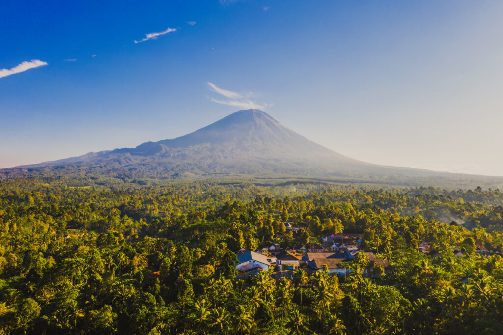
The Amazon Rainforest. Raw, wild and absolutely essential to life as we know it. It is one of the most awe-inspiring and ecologically vital regions on the planet. Spanning over nine countries in South America and covering more than 5.5 million square kilometers, it houses unparalleled biodiversity and serves as a lifeline for Earth’s climate. Yet, behind its verdant canopy and teeming rivers lie stories of ancient civilizations, urgent environmental threats, and remarkable resilience.
In this comprehensive guide, we delve into the untold wonders, historical roots, cultural richness, and the alarming challenges facing the Amazon today. From its sprawling river systems and endangered wildlife to the critical role indigenous people play in conservation, this article offers a deep dive into why protecting the Amazon Rainforest isn’t just a regional issue—it’s a global imperative.
Size and Location of the Amazon Rainforest
The Amazon Rainforest is an ecological giant, stretching over 5.5 million square kilometers (2.1 million square miles) and making up over half of the planet’s remaining tropical forests. It is primarily located in South America, spanning nine countries: Brazil, Peru, Colombia, Venezuela, Ecuador, Bolivia, Guyana, Suriname, and French Guiana. Brazil accounts for the largest portion—about 60% of the total forest area—followed by Peru and Colombia. The forest basin is bordered by the Andes Mountains to the west, which play a vital role in shaping its rainfall and river systems.
This immense green expanse is not just a forest but an interconnected network of ecosystems ranging from dense canopy forests and swampy floodplains to seasonal savannas and mountainous rainforests. Its scale is staggering; the Amazon is larger than the entire European Union or nearly equivalent to the contiguous United States. According to NASA, the forest plays a critical role in Earth’s hydrological cycle, generating 20% of the world’s freshwater runoff into oceans (NASA Earth Observatory). The rainforest’s vastness ensures it significantly influences global weather, climate, and biodiversity.
The Origin and History of the Amazon Rainforest
The Amazon Rainforest is estimated to have formed around 55 million years ago, during the Eocene epoch, following the separation of the South American and African tectonic plates. It developed as a tropical forest after the Andean uplift reconfigured the region’s topography and river systems, transforming what was once a giant inland sea into today’s Amazon Basin. This ancient evolution gave rise to one of the most complex and species-rich ecosystems on the planet.
While the ecological story is fascinating, the human history of the Amazon is equally compelling. Contrary to the outdated myth of an untouched wilderness, research has shown that indigenous civilizations have lived in and shaped the Amazon for at least 11,000 years. Archaeological evidence, including complex mound structures, road networks, and terra preta (man-made fertile soil), points to advanced pre-Columbian societies. These early inhabitants used sophisticated agricultural techniques, cultivating crops like cassava and maize while managing forest resources sustainably (Smithsonian Magazine).
Indigenous Peoples of the Amazon Rainforest
The Amazon is home to an incredibly diverse population of over 400 indigenous tribes, many of whom have lived in the forest for millennia. It’s estimated that about 1 million indigenous people inhabit the region, speaking over 300 distinct languages and maintaining vibrant cultural traditions. Notable tribes include the Yanomami, Kayapo, Ticuna, Asháninka, and Huitoto, each with unique cosmologies, rituals, and ecological knowledge deeply rooted in the rainforest.
These communities depend on the forest for food, medicine, and spiritual well-being. They practice sustainable hunting, fishing, and slash-and-burn agriculture (when done traditionally and cyclically) that enhances biodiversity rather than diminishes it. Indigenous stewardship has proven to be one of the most effective strategies for preserving the rainforest’s ecological integrity. A study published in PNAS (2021) found that deforestation rates were significantly lower in indigenous territories compared to other protected areas (PNAS Journal).
Modern-Day Challenges for Indigenous Communities
Despite their proven role in conservation, indigenous communities face significant threats from encroachment, resource exploitation, and political marginalization. Deforestation for logging, cattle ranching, and agriculture often occurs illegally on their lands. Moreover, illegal mining operations bring mercury pollution, violence, and disease. Governments have made efforts to secure land titles and implement protective legislation, but enforcement is inconsistent. Organizations like Survival International and the Amazon Watch are actively working to advocate for indigenous rights and increase global awareness.
The Amazon River: Lifeline of the Rainforest
Flowing for approximately 6,400 kilometers (3,980 miles), the Amazon River is the second-longest river in the world after the Nile, but it easily surpasses all others in water volume. It discharges an astonishing 209,000 cubic meters per second into the Atlantic Ocean—about 20% of all freshwater entering the world’s oceans. Originating from the Andes Mountains in Peru, the river meanders through dense forests and lowland plains, finally emptying into a massive delta in northern Brazil.
The river is the beating heart of the Amazon ecosystem, nourishing vast stretches of rainforest and supporting a remarkable variety of life. It sustains over 3,000 fish species, including the arapaimas, piranhas, and the endangered pink river dolphins. Seasonal flooding enriches the soil and creates unique aquatic habitats like the várzea (whitewater floodplains) and igapó (blackwater floodplains), crucial for biodiversity and nutrient cycling.
Major Tributaries and Navigability
The Amazon is fed by hundreds of tributaries, some of which—like the Madeira, Tapajós, and Negro Rivers—are massive rivers in their own right. These waterways form an extensive network of natural highways that are vital for local transportation and commerce. However, proposals for hydroelectric dams and infrastructure expansion pose serious threats to this delicate system, potentially altering the river’s flow, displacing communities, and affecting fish migration.
According to The Nature Conservancy, maintaining the Amazon River’s health is not only crucial for the ecosystem but also for the millions of people who rely on it for water, food, and transportation (The Nature Conservancy).
Biodiversity in the Amazon Rainforest
The Amazon Rainforest is the most biodiverse region on Earth. It is estimated to be home to 10% of the world’s known species, including over 40,000 plant species, 1,300 bird species, 430 mammals, 1,000 amphibians, and 3,000 types of fish. Every hectare of rainforest might contain hundreds of tree species, many still unknown to science. This remarkable biodiversity is due to the region’s warm climate, high rainfall, and complex web of microhabitats that foster evolution and niche specialization.
One of the most iconic species is the jaguar, the apex predator of the forest, whose stealth and strength help regulate the food chain. The forest is also home to vibrant macaws, curious capuchin monkeys, sloths, and the elusive harpy eagle. Below the forest canopy, the Amazon River and its tributaries teem with unique aquatic life, including the pink river dolphin, giant river otters, and piranhas.
Threatened and Endangered Species
Despite its richness, the Amazon is a battleground for many endangered species. The World Wildlife Fund (WWF) reports that habitat destruction and illegal wildlife trade are pushing species like the giant armadillo, golden lion tamarin, and the black caiman to the brink of extinction (source). Conservationists warn that we’re losing biodiversity faster than we can document it. Many organisms living in the Amazon may vanish before we even discover them, erasing opportunities for future medicines, ecological balance, and scientific knowledge.
Climate of the Amazon Rainforest
The Amazon’s climate is predominantly tropical and humid, with average annual temperatures ranging between 25°C and 28°C (77°F to 82°F). It receives over 2,000 millimeters (79 inches) of rainfall annually in most areas. This consistent moisture supports a year-round growing season and maintains the lush, green environment.
The rainforest plays a key role in its own weather patterns through evapotranspiration, where moisture is released from trees and contributes to cloud formation and rainfall. This process not only sustains local ecosystems but also affects weather systems as far as North America and Europe.
Effects of Climate Change
Recent studies published in Nature Climate Change and Science Advances reveal that the Amazon is experiencing longer dry seasons and more intense droughts, largely driven by global warming. These changes have made the forest more vulnerable to wildfires, which were once rare but are now becoming increasingly common due to a drier climate and deforestation-induced ignition points (NASA Earth Observatory). These fires threaten both biodiversity and the forest’s ability to function as a carbon sink.
Human Influence on the Amazon Rainforest
Human activity is one of the Amazon’s biggest threats. Over the past 50 years, nearly 17% of the rainforest has been lost, primarily due to deforestation for agriculture, cattle ranching, and infrastructure projects like roads and dams. Brazil, which holds the largest portion of the rainforest, has witnessed intense clearing, especially in the “arc of deforestation”, a zone stretching across the southern Amazon.
Industrial-scale soy farming and cattle grazing are leading causes of tree removal. Large multinational companies often incentivize the destruction of forest lands in pursuit of profit. This pattern not only disrupts ecosystems but also displaces indigenous peoples and fragments wildlife habitats.
Illegal Activities and Enforcement Issues
Illegal logging, gold mining, and poaching are widespread, often facilitated by corrupt officials or weak governance. A 2020 investigation by Mongabay, a respected environmental journalism site, highlighted how illegal gold mining operations contaminate rivers with mercury, threatening aquatic life and human health. Law enforcement faces significant challenges due to the forest’s vastness, remote terrain, and occasional violent resistance from criminal operations.
Impact of the Amazon Rainforest on the Global Climate
The Amazon plays an indispensable role in regulating the Earth’s climate. Its dense vegetation stores about 90-140 billion metric tons of carbon, helping to moderate global carbon dioxide levels and slow down climate change. The rainforest also influences rainfall patterns across continents. For instance, moisture from the Amazon contributes to precipitation in the Midwestern United States, impacting agriculture and water supplies.
The Rainforest’s Role as a Carbon Sink
Through photosynthesis, the Amazon acts as a carbon sink, absorbing more carbon than it emits. However, recent satellite data analyzed by NASA and the European Space Agency (ESA) show alarming trends: parts of the forest are now releasing more carbon than they store, primarily due to logging and burning (source). If this trend continues, the Amazon could reach a tipping point, beyond which it may no longer support the moisture cycle necessary to sustain itself—a scenario with profound global repercussions.
Protection and Recovery Efforts
Despite the dire threats, global efforts to protect the Amazon are underway. National governments, NGOs, indigenous communities, and international bodies are collaborating to enforce sustainable practices, conserve biodiversity, and restore degraded areas.
Initiatives like REDD+ (Reducing Emissions from Deforestation and Forest Degradation), led by the United Nations, offer financial incentives to countries and landowners for preserving forest cover. NGOs such as the Amazon Conservation Team and Rainforest Alliance work closely with indigenous communities to combine traditional ecological knowledge with modern conservation science.
Reforestation and Indigenous Stewardship
Reforestation efforts, including planting native trees and rehabilitating degraded land, are gaining momentum. However, scientists emphasize that protecting existing forest is far more effective than replanting new ones. Indigenous stewardship plays a pivotal role here. A 2021 study in PNAS (Proceedings of the National Academy of Sciences) found that forests managed by indigenous communities are significantly better preserved than those under government control or private ownership (source).
FAQs About the Amazon Rainforest
1. Why is the Amazon Rainforest called the “lungs of the Earth”?
Because it produces approximately 20% of the world’s oxygen and absorbs vast amounts of carbon dioxide, helping to regulate the global atmosphere.
2. What’s the biggest threat to the Amazon today?
Deforestation, primarily from agriculture and illegal activities, remains the most pressing issue.
3. Can the Amazon Rainforest recover if deforestation stops?
Yes, with time and proper reforestation practices. Natural regeneration can be effective, but active restoration helps speed up recovery.
4. How many indigenous tribes live in the Amazon?
Over 400 tribes live in the Amazon Basin, many with their own languages and cultural traditions.
5. How does the Amazon affect weather in the U.S.?
Moisture from the Amazon contributes to rainfall patterns that affect agriculture and weather in the United States and other regions.
6. What can individuals do to help protect the Amazon?
Support organizations focused on rainforest conservation, reduce consumption of products linked to deforestation (like soy and beef), and raise awareness.
Conclusion: Why the World Must Protect the Amazon Rainforest
The Amazon Rainforest is more than just a lush wilderness—it is a living, breathing system that supports millions of species, indigenous cultures, and the stability of our global climate. Its fate is tied to our own. Continued destruction of this vital biome would mean the loss of irreplaceable biodiversity, the collapse of key weather systems, and an acceleration of climate change.
However, hope remains. With stronger international cooperation, indigenous leadership, and a collective commitment to sustainability, the Amazon can still thrive. We all have a role to play in ensuring that the “lungs of the Earth” keep breathing for generations to come.